20 km | 28 km-effort
guils refuge Malniu AR
jopa
Gebruiker
Lengte
18,1 km
Max. hoogte
2220 m
Positief hoogteverschil
946 m
Km-Effort
31 km
Min. hoogte
1414 m
Negatief hoogteverschil
946 m
Boucle
Ja
Datum van aanmaak :
2017-05-27 00:00:00.0
Laatste wijziging :
2017-05-27 00:00:00.0
7h34
Moeilijkheid : Onbekend
Gratisgps-wandelapplicatie
Over ons
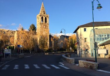
Tocht Stappen van 18,1 km beschikbaar op Catalonië, Gerona, Guils de Cerdanya. Deze tocht wordt voorgesteld door jopa.
Beschrijving
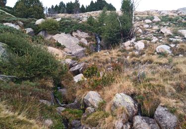
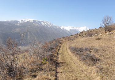
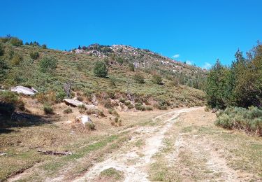
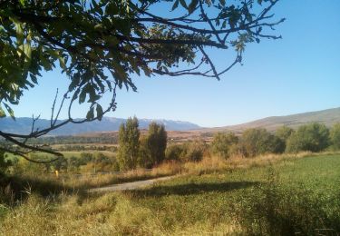
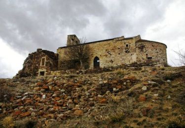
Gr11 18km 900m dénivelée... arrivée au pied du Campcardos
Plaatsbepaling
Land:
Spain
Regio :
Catalonië
Departement/Provincie :
Gerona
Gemeente :
Guils de Cerdanya
Locatie:
Unknown
Vertrek:(Dec)
Vertrek:(UTM)
407606 ; 4700327 (31T) N.
Opmerkingen
Wandeltochten in de omgeving
de Ur vers La Chapelle de Belloc
Stappen
Gemakkelijk
(1)
Ur,
Occitanië,
Pyrénées-Orientales,
France
7h 14min
Ja
Bena
Stappen
Medium
Enveitg,
Occitanië,
Pyrénées-Orientales,
France
11,9 km | 21 km-effort
3h 32min
Neen
ur
Stappen
Heel gemakkelijk
Ur,
Occitanië,
Pyrénées-Orientales,
France
18,5 km | 26 km-effort
7h 5min
Neen
Boucle de Latour-de-Carol
Trail
Medium
Latour-de-Carol,
Occitanië,
Pyrénées-Orientales,
France
8,1 km | 12,2 km-effort
1h 13min
Neen
La Tour de Carol
Stappen
Gemakkelijk
Latour-de-Carol,
Occitanië,
Pyrénées-Orientales,
France
15,1 km | 22 km-effort
4h 10min
Ja
nd belloch par ur
Stappen
Heel gemakkelijk
Ur,
Occitanië,
Pyrénées-Orientales,
France
17,4 km | 25 km-effort
4h 59min
Ja
Balade au dessus de Latour de Carol
Stappen
Medium
Enveitg,
Occitanië,
Pyrénées-Orientales,
France
24 km | 32 km-effort
7h 21min
Ja
Santa Maria de Belloc
Stappen
Gemakkelijk
Enveitg,
Occitanië,
Pyrénées-Orientales,
France
5,8 km | 9,4 km-effort
2h 30min
Ja
Latour-de-Carol, Les Fontanelles
Stappen
Moeilijk
Latour-de-Carol,
Occitanië,
Pyrénées-Orientales,
France
9,6 km | 14,5 km-effort
3h 17min
Ja